
PIN 466115 Elevation 492 m Local time Friday 10:07 AM | Time zone IST (UTC+5:30) Telephone code 07561 Population 15,221 (2011) Area code 07561 | |
 | ||
Weather 25°C, Wind W at 14 km/h, 42% Humidity | ||
Ichhawar is a town, and a Municipal Council in Sehore district in the Indian state of Madhya Pradesh. Ichhawar is near Bhopal.
Contents
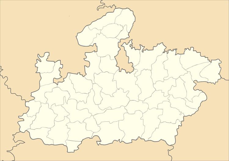
Map of Ichhawar, Madhya Pradesh 466115
Ichhawar is a lush green town with a pleasant climate. It is well known for its Sharbati variety of Wheat and Soyabean. Recent development of interest for Kabli Chana between farmers led to ample production of the product in the area. The mango and orange gardens of some farmers are a lucrative attraction. The Sqeezing mango or the "Choosne Wala Aam" is very popular in Ichhawar.
Ichhawar witnessed the historical political event on 8 December 2013 when the seating MLA and Minister since 23 years lost elections by only 700+ votes to very younger Shailendra Patel of Indian National Congress.
Ichhawar is located on State Highway which connects to National Highway to Nagpur. Kolar Dam which supplies water to Bhopal is in Ichhawar Tehsil.
A village Molga is in Ichhawar tehsil in which a woman give curd (makkhan) as prasad. Makkhan comes after praying to god.
Geography
Ichhawar is located at 23.02°N 77.02°E / 23.02; 77.02. It has an average elevation of 492 metres (1614 feet).
History
Shri Kesarimal Jain was the first MLA of Madhya Pradesh Legislative Assembly from Ichhawar (Vidhan Sabha constituency).
Demographics
As of 2011 India census, Ichhawar had a population of 15,221. Males constitute 52% of the population, and females 48%. Ichhawar has an average literacy rate of 67%, lower than the national average of 74.04%: male literacy is 80%, and female literacy is 71%. In Ichhawar, 12% of the population is under 6 years of age.