Trisha Shetty (Editor)

Ibhayi

Updated on
Edit
Like
Comment
Share on FacebookTweet on TwitterShare on LinkedInShare on Reddit
Country
  
South Africa

Municipality
  
Nelson Mandela Bay

Local time
  
Friday 1:45 AM

Province
  
Eastern Cape

Postal code (street)
  
6001

Ibhayi

Weather
  
17°C, Wind E at 13 km/h, 65% Humidity

Ibhayi is a large township near Port Elizabeth, South Africa.

Contents

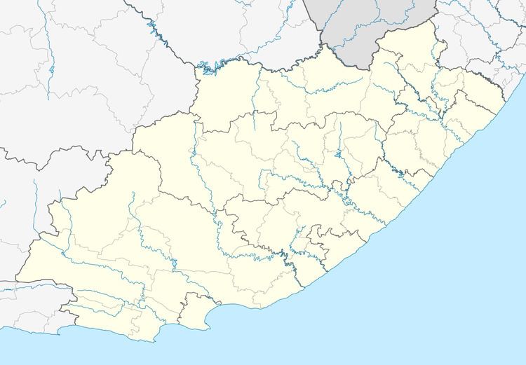
Map of Ibhayi, South Africa

Subdivisions

  • KwaZakele 1, 2, and 3
  • New Brighton
  • Soweto On Sea
  • Zwide 1, 2, 3, and 4
    are all part of Ibhayi.
  • Motherwell
  • KwaMagxaki
  • KwaDwesi
  • KwaNoxolo
  • Joe Slovo
  • KwaDwesi Extension
  • Rholihlahla
  • The Ubuntu Education Fund is based in Zwide, and operates a community center which opened in 2010.

    IBhayi has a local township pub located in Zwide, called Oom Colas Tarven or widely known as KwaGgalane.

    Another is Chief Nqoko in New Brighton, but most people fear this one because of regular gun shots.

    Demographics (2011)

  • Area: 36.06 square kilometres (13.92 sq mi)
  • Population: 237,799: 6,594 inhabitants per square kilometre (17,080/sq mi)
  • Households: 63,474: 1,760 per square kilometre (4,600/sq mi)
  • Source:

    References

    Ibhayi Wikipedia