
Time zone UTC-3 (UTC-3) Area 290.7 km² Local time Thursday 8:14 PM | Postal Code 14815-000 Elevation 839 m | |
 | ||
Weather 25°C, Wind E at 8 km/h, 73% Humidity | ||
Ibaté is a municipality in the state of São Paulo, Brazil with a population of 30,734 in 2010 according to IBGE. The city's name comes from the Tupi language and means "dry lake".
Contents
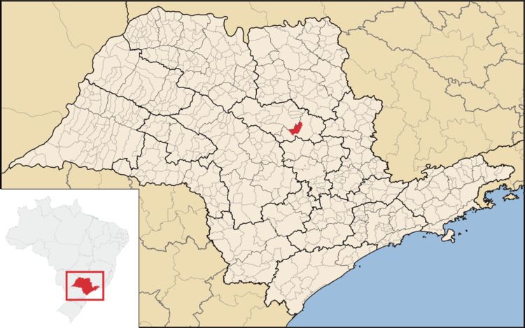
Map of Ibat%C3%A9, State of S%C3%A3o Paulo, Brazil
Ibaté is located on the east-center of the state, 12 km from São Carlos and 247 km from the city of São Paulo.
History
The origins and development of the city has relation with the coffee production on the region, at the end of the 19th century. The village of São João Batista da Lagoa was founded in January 29, 1893. In 1900 the village was elevated to district, with the name of Vila de Ibaté
In December 30, 1953, Ibaté was officially established as a municipality.
References
Ibaté Wikipedia(Text) CC BY-SA