
Commune seat Iara Area 143.9 km² Local time Friday 12:38 AM | Settled 1176 Time zone EET (UTC+2) Elevation 465 m Population 4,554 (1 Jul 2007) | |
 | ||
Weather 6°C, Wind SE at 6 km/h, 93% Humidity Villages Borzești, Buru, Cacova Ierii, Făgetu Ierii, Lungești | ||
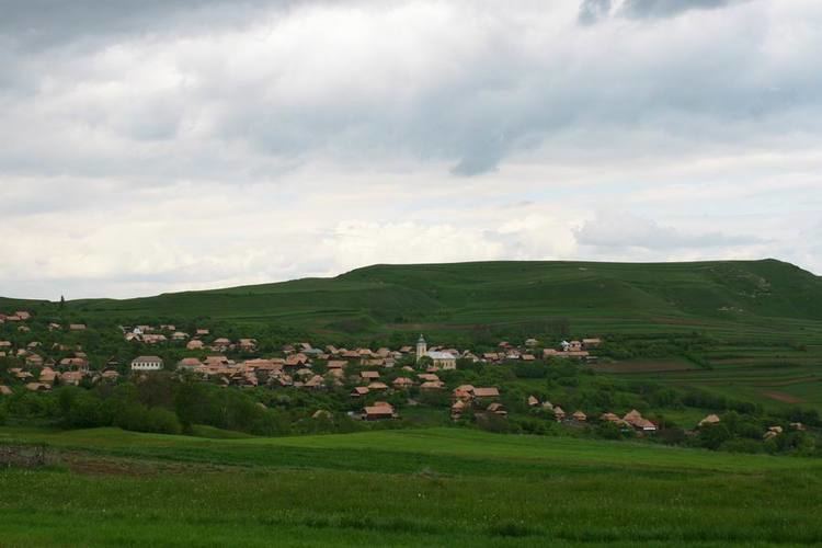
Iara (Hungarian: Alsójára; German: Jahren) is a commune in the southern part of Cluj County, Romania. It is composed of thirteen villages: Agriș (Ruhaegres), Borzești (Berkes), Buru (Borrév), Cacova Ierii (Aranyosivánfalva), Făgetu Ierii (Bikalat), Iara, Lungești (Szurdoklunzsest), Măgura Ierii (Járamagura), Mașca (Macskakő), Ocolișel (Felsőaklos), Surduc (Járaszurdok), Valea Agrișului (Egrespatak) and Valea Vadului (Vádpatak).
Contents
Map of Iara, Romania
Demographics
According to the census from 2002, the total population of the commune was 4,704 people. Of this population, 90.68% were ethnic Romanians, 6.01% ethnic Romani and 3.16% are ethnic Hungarians.
References
Iara, Cluj Wikipedia(Text) CC BY-SA