
Written in C++ | Operating system | |
 | ||
Developer(s) 52°North ILWIS Community Stable release 3.8.5 / 3 September 2015; 18 months ago (2015-09-03) Repository github.com/52North/IlwisCore | ||
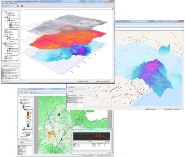
Integrated Land and Water Information System (ILWIS) is a geographic information system (GIS) and remote sensing software for both vector and raster processing. Its features include digitizing, editing, analysis and display of data, and production of quality maps. ILWIS was initially developed and distributed by ITC Enschede (International Institute for Geo-Information Science and Earth Observation) in the Netherlands for use by its researchers and students. Since 1 July 2007, it has been released as free software under the terms of the GNU General Public License. Having been used by many students, teachers and researchers for more than two decades, ILWIS is one of the most user-friendly integrated vector and raster software programmes currently available. ILWIS has some very powerful raster analysis modules, a high-precision and flexible vector and point digitizing module, a variety of very practical tools, as well as a great variety of user guides and training modules all available for downloading. The current version is ILWIS 3.8.1. Similar to the GRASS GIS in many respects, ILWIS is currently available natively only on Microsoft Windows. However, a Linux Wine manual has been released.
Contents
History
In late 1984, ITC was awarded a grant from the Dutch Ministry of Foreign Affairs, which led to developing a geographic information system (GIS) which could be used as a tool for land use planning and watershed management studies. By the end of 1988, a DOS version 1.0 of the Integrated Land and Water Information System (ILWIS) was released. Two years later, ILWIS was made commercial with ITC establishing a worldwide distributors network. ILWIS 2.0 for Windows was released at the end of 1996, and ILWIS 3.0 by mid-2001. On 1 January 2004, ILWIS 3.2 was released as a shareware (one-month trial offer). Since July 1, 2007, ILWIS has been distributed as an open source software under GPL license.
Release history
This table is based on [1].
Features
ILWIS uses GIS techniques that integrate image processing capabilities, a tabular database and conventional GIS characteristics. The major features include:
Roadmap
The next major version of Ilwis will be based on the Ilwis NG framework (in development). This framework aims at being a connection hub between various heterogeneous data and processing sources (local-remote). Integrating them in a consistent way and presenting them in a unified to the end users (at both programming and user interface level). The framework will be cross platform (ILWIS is now limited to Windows only) and will be deployable on mobile devices.