
 | ||
Islands (De Drost, Hooft, Pampus, Vuurtoreneiland, Warenar) | ||
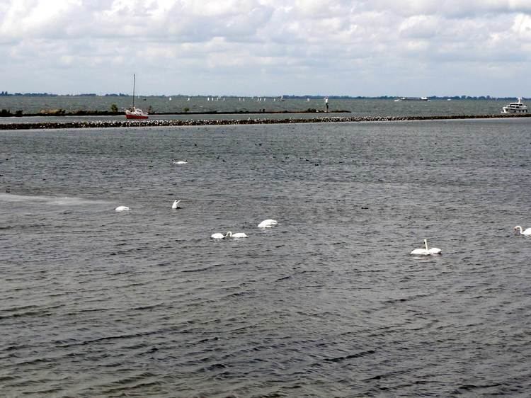
The IJmeer is a bordering lake in the Netherlands. It lies between the polder De Nes (in Waterland), Pampushaven, Hollandse Brug and the mouth of the IJ in IJburg, straddling the provinces of North Holland and Flevoland. It is an important habitat for birds such as the tufted duck and scaup. To the north-east is the Markermeer, south-east is the Gooimeer.
Contents
- Map of IJmeer Netherlands
- Houses in the IJmeerEdit
- Further plans for the IJmeerEdit
- IslandsEdit
- References
Map of IJmeer, Netherlands
Houses in the IJmeerEdit
Since 1998 islands were raised for new housing for IJburg. The first houses were ready in 2003. On 24 November 2004 the Council of State ruled that the construction of further new islands was provisionally banned, because the consequences for the environment were insufficiently researched.
Further plans for the IJmeerEdit
In 2006, the Council for Transport and Public Works and the Environment Board issued a joint opinion stating that Amsterdam and Almere should become conjoined cities with the IJmeer as a 'Central Park '. Partly to this end, Almere has announced plans to build residential areas in the IJmeer, in order for Amsterdam and Almere to grow closer together. There are plans for a connection between Amsterdam and Almere, straight through the IJmeer, through IJburg, and the planned Almere Pampus. Most likely this connection will be a bridge with lanes for public transport (metro and RER-like) and road.
IslandsEdit
The IJmeer has a number of islands including: