
Time zone EET (UTC+2) Licence plate 03 Area code 0272 | Elevation 1,030 m (3,380 ft) Postal code 03080 Population 7,372 (2013) | |
 | ||
District Afyonkarahisar central district | ||
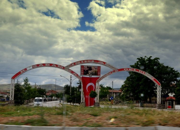
Işıklar (literally "lights") is a belde (town) in the central district (Afyonkarahisar, Afyon for short) of Afyon Province, Turkey . It is at 38°38′N 30°42′E situated on Turkish state highway close to Sugar refinery of Afyon. The distance to Afyon is 18 kilometres (11 mi). The population of the town is 7372 Before the advance of motor vehicles Işıklar was a stop in caravan routes and the name of the settlement may refer to its fire lights in that period.
Map of 03030 I%C5%9F%C4%B1klar Belediyesi%2FAfyonkarahisar Merkez%2FAfyonkarahisar Province, Turkey
References
Işıklar Wikipedia(Text) CC BY-SA