Population 1,781 (2011 census) Postal code 5061 | Postcode(s) 5061 Area 60 ha | |
 | ||
Location 5 km (3 mi) S of Adelaide city centre | ||
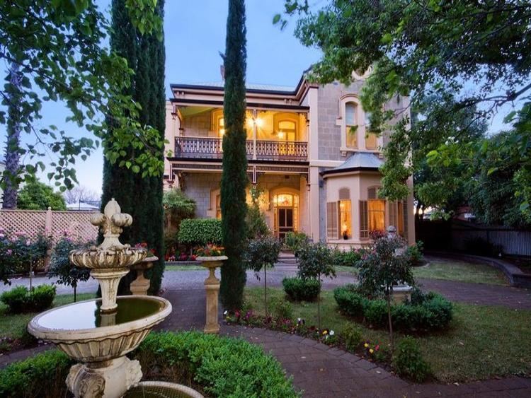
Hyde Park is an inner-southern suburb of Adelaide in the City of Unley.
Map of Hyde Park SA 5061, Australia
It features King William Road, a popular shopping and dining destination in Adelaide. The Belair railway line is also very close to the suburb.
Politically, the suburb is safe for the Liberal Party of Australia; at the 2010 election, they attracted 62.33% of the primary vote because of the large size of the electorates.
References
Hyde Park, South Australia Wikipedia(Text) CC BY-SA
