
Primary outflows Hvítá Surface area 30 km (12 sq mi) Area 30 km² | Max. depth 84 m (276 ft) Outflow location Hvítá, Árnessýsla | |
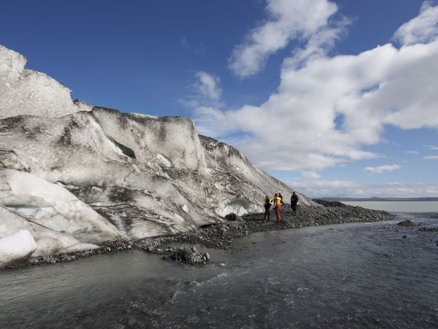 | ||
Hvítárvatn (also known as Hvítárlón) is a lake in the Highlands of Iceland and the source of the glacial river Hvítá. It is located 45 km northeast of Gullfoss waterfall. Its surface is about 30 km² and its greatest depth is 84 m.
Map of Hv%C3%ADt%C3%A1rvatn, Iceland
There are some rivers and lakes with the Icelandic adjective hvítur (white) in their name. This is explained by the source of most of Iceland's freshwater, originating from glaciers which make the water light in colour.
References
Hvítárvatn Wikipedia(Text) CC BY-SA