
Time zone China Standard (UTC+8) | County seat Hutubi Town (呼图壁镇) | |
 | ||
Township-level divisions 6 towns1 township1 ethnic township | ||
Hutubi (Qutubi) County (simplified Chinese: 呼图壁县; traditional Chinese: 呼圖壁縣; pinyin: Hūtúbì Xiàn; Wade–Giles: Hu-t’u-pi Hsien; Xiao'erjing: خُوتُوبِ ﺷِﯿًﺎ; Uyghur: قۇتۇبى ناھىيىسى, Қутуби Наһийиси, ULY: Qutubi Nahiyisi, UYY: K̡utubi Nah̡iyisi?) is a county in the Xinjiang Uyghur Autonomous Region and is under the administration of the Changji Hui Autonomous Prefecture. It contains an area of 9,476 km2. According to the 2002 census, it has a population of 210,000.
Contents
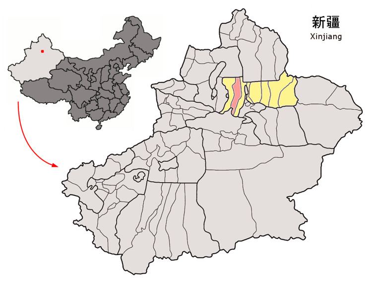
Map of Hutubi, Changji, Xinjiang, China
Hutubi is 61.7 km (38.34 mi) by road north-west of Urumchi, the capital of Xinjiang.
Transport
Hutubi is served by China National Highway 312, the Northern Xinjiang and the Second Ürümqi-Jinghe Railways.
Petroglyphs
Petroglyphs were recorded in Qutubi County at Kangjiashimenzi (Chinese: 康家石门子; pinyin: Kāngjiāshíménzi) and are interpreted as representing male fertility worship. This is because in the two depictions of copulation, the males have faces on their chests, suggesting that the petroglyph's creators believed that males were the source of children. The alleged superiority of the petroglyph's male subjects was the basis for the researcher's conclusion that they were created after 1500 BCE, when it is believed that matriarchal societies were replaced by patriarchies.