Country United States Time zone Eastern (EST) (UTC-5) Area 44 ha | Elevation 2,420 ft (740 m) ZIP code 21550 Population 86 (2010) | |
 | ||
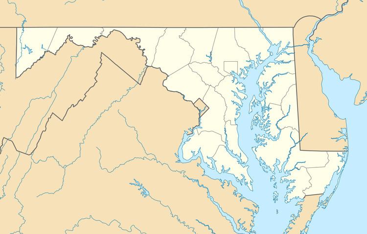
Hutton is an unincorporated community and census-designated place (CDP) in Garrett County, Maryland, United States. Variant names for Hutton include Huttons Switch Station and Kindness.
Map of Hutton, MD 21550, USA
The population was 86 at the 2010 census.
Hutton is located on Maryland Route 39 adjacent to the West Virginia border. MD 39 leads east 6 miles (10 km) to Oakland, the Garrett County seat, and West Virginia Route 7 leads northwest from the state line 4 miles (6 km) to Terra Alta, West Virginia.
The Hutton CDP has an area of 0.17 square miles (0.44 km2), all of it land. The community is in the valley of Snowy Creek, a southeast-flowing tributary of the Youghiogheny River.
References
Hutton, Maryland Wikipedia(Text) CC BY-SA
