
Basin countries Australia Max. width 2.3 km (1.4 mi) Length 14 km | Type Salt lake Max. length 14 km (8.7 mi) Max. depth 0.65 m (2 ft 2 in) Width 2.3 km | |
 | ||
Similar Pink Lake, Kalbarri National Park, Lake Hillier, Lake Retba, Murchison River | ||
Hutt lagoon western australia
Hutt Lagoon is a salt lake located near the coast just north of the mouth of the Hutt River, in the Mid West region of Western Australia.
Contents
- Hutt lagoon western australia
- Map of Hutt Lagoon Yallabatharra WA 6535 Australia
- Hutt lagoon lo straordinario lago rosa wa eng subs
- Geography
- Hydrology
- History
- References
Map of Hutt Lagoon, Yallabatharra WA 6535, Australia
Hutt lagoon lo straordinario lago rosa wa eng subs
Geography
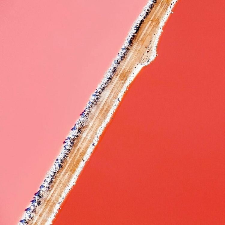
Hutt Lagoon is an elongate lake that sits in a dune swale adjacent to the coast. The town of Gregory is located between the ocean and the lake's southern shores. The road between Northampton and Kalbarri, George Grey Drive, runs along its western edge.
The lake is about 14 kilometres (8.7 mi) in length along its northwest-southeast axis, parallel with the coast. It is around 2.3 kilometres (1.4 mi) wide.
The Hutt Lagoon comprises most of the Hutt Lagoon System, a DIWA-listed wetland system that also takes in a number of adjacent small lakes, such as Utcha Swamp.
Hydrology
The lagoon, or marginal-marine salina, is an elongate depression about 70 square kilometres (27 sq mi) in area, with most of it lying a few metres below sea level. It is separated from the Indian Ocean by a beach barrier ridge and barrier dune system. Similar to Lake MacLeod, 40 kilometres (25 mi) to the north of Carnarvon, Hutt Lagoon is fed by marine waters through the barrier ridge and by meteoric waters through springs.
Due to the salina’s sub-sealevel position, seepage of seawater into the salina is continuous year round. During the winter wet season, the amount of water coming into the salina is substantially increased by the influx of meteoric groundwater. Hutt Lagoon has a Mediterranean climate; high evaporation rates (2,150–2,400 millimetres (85–94 in)) are characteristic of the summer. There is moderate rainfall in the winter. These factors combine to form a setting within which salt is deposited seasonally and the rates and style of precipitation follow a balance between influx of water and removal by evaporation. During the summer about 95% of the salina surface is a dry salt flat.
History
Hutt Lagoon was named by the explorer George Grey who camped on its eastern edge on 4 April 1839, while on his second disastrous expedition along the Western Australian coast. He mistook the wet season lagoon for a large estuary and named "the river and estuary now discovered" after William Hutt, M.P., brother of John Hutt, the second Governor of Western Australia. Hutt was a British Liberal politician who was heavily involved in the colonization of Western Australia, New Zealand and South Australia.
After Grey's arrival back in Perth, Governor Hutt dispatched the schooner Champion to investigate the large estuary and river discovered. In summer, January 1840, the crew of the Champion found the Hutt River at its mouth to be dry, and could not locate the large estuary described by Grey.