
Country Canada Founded 1913 Elevation 910 m Province Alberta Area code 403 | Time zone MST (UTC-7) Population 190 (2016) Local time Friday 3:20 AM | |
 | ||
Weather -1°C, Wind SW at 18 km/h, 96% Humidity | ||
Hussar is a village in southern Alberta, Canada within Wheatland County. It is located on Highway 561, approximately 93 km (58 mi) east of Calgary and 55 km (34 mi) south of Drumheller.
Contents
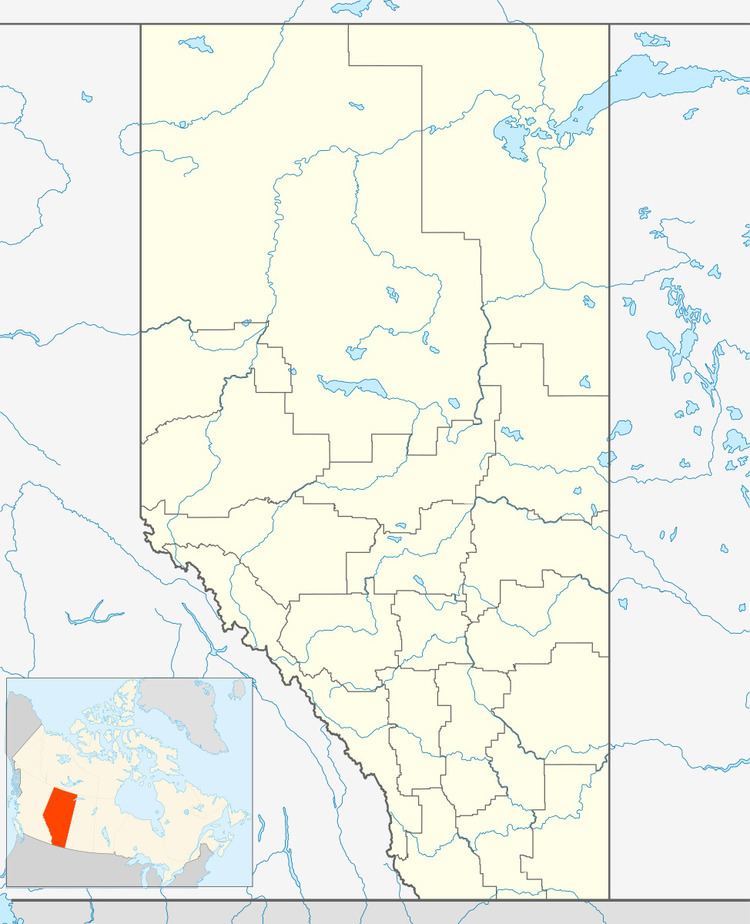
Map of Hussar, AB, Canada
History
Hussar was unofficially founded in 1913 when the Canadian Pacific Railway (CPR) established a station and named it Hussar. A community grew up around the station and was incorporated as a village in 1928. The name Hussar for the station was used in honour of a group of German soldiers who belonged to a German Hussar (cavalry) regiment who earlier had established a large farm near Hussar. With the start of World War I most of the soldiers returned to Germany and those who remained were interned for the duration of the war. The land, which was part of this German Canadian Farming Co. Ltd., was purchased after the war. Following the war, the community, both the village and the surrounding area, began to grow with an influx of settlers from around the world. English, Irish, Scots and Danes made up the bulk of the settlers. Many of those settlers' descendants still reside in or around the community.
Demographics
In the 2016 Census of Population conducted by Statistics Canada, the Village of Hussar recorded a population of 190 living in 78 of its 87 total private dwellings, a change of 7000800000000000000♠8% from its 2011 population of 176. With a land area of 0.75 km2 (0.29 sq mi), it had a population density of 253.3/km2 (656.1/sq mi) in 2016.
In the 2011 Census, the Village of Hussar had a population of 176 living in 78 of its 89 total dwellings, a change of -5.9% from its 2006 population of 187. With a land area of 0.99 km2 (0.38 sq mi), it had a population density of 177.8/km2 (460.4/sq mi) in 2011.