 | ||
Hurricane evacuation routes virginia beach and norfolk
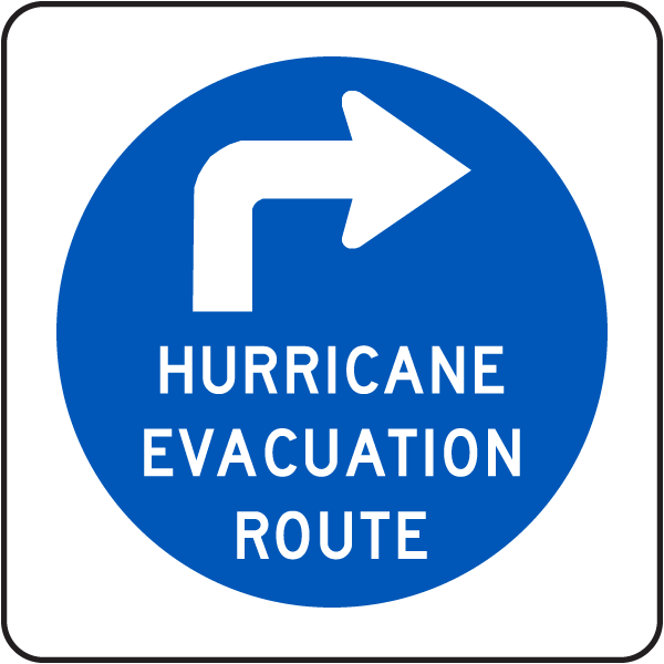
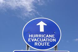
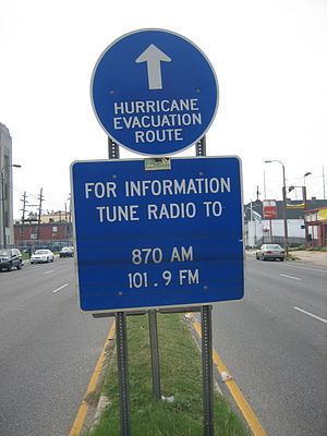
A hurricane evacuation route (also called coastal evacuation route or evacuation route) is a highway in the United States that is a specified route for hurricane evacuation.
Contents
- Hurricane evacuation routes virginia beach and norfolk
- Baldwin co hurricane evacuation routes
- States
- References
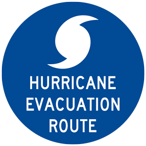
Along the Gulf Coast, hurricane evacuation routes lead north and west for up to hundreds of miles to the safest major city. Along the Atlantic Coast, routes lead west. They are marked with blue signs that point in the correct direction. During mass evacuations, these roads (and especially interstate highways) have been set up with paved crossover lanes so that both north and southbound lanes flow north and west and eastbound lanes flow west, a procedure known as contraflow. In some cases, traffic may still be backed up, bumper-to-bumper.

Baldwin co hurricane evacuation routes
States
These states primarily use signed evacuation routes: