
Length 10 km | Source Burt Township | |
 | ||
River mouth Lake Superior, Michigan | ||
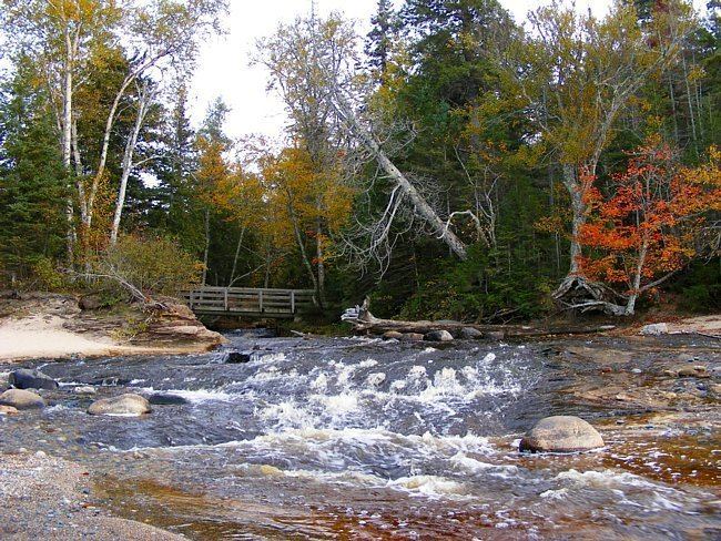
Hurricane river campground michigan
The Hurricane River is a 6.4-mile-long (10.3 km) river in Alger County in the Upper Peninsula of Michigan in the United States. It empties into Lake Superior in the Pictured Rocks National Lakeshore. There is a campground at the mouth of the river which is also the beginning of a trail that leads past various old shipwrecks to the historic Au Sable Lighthouse. The mouth of the river is also very near the eastern end of a stretch of relatively straight shoreline known as Twelvemile Beach.
Contents
Map of Hurricane River, Burt Township, MI, USA
References
Hurricane River Wikipedia(Text) CC BY-SA