
Admin. region Oberbayern Municipal assoc. Igling Area 17.15 km² Local time Friday 4:41 AM | Elevation 584 m (1,916 ft) Population 1,627 (31 Dec 2008) Postal code 86857 | |
 | ||
Weather 4°C, Wind S at 13 km/h, 76% Humidity | ||
Hurlach is a municipality in the district of Landsberg in Bavaria in Germany.
Contents
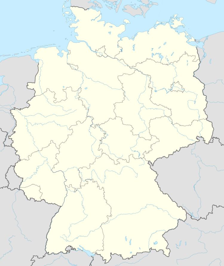
Map of Hurlach, Germany
Liberation of Hurlach "satellite" camp of Dachau
On April 29, 1945, advance scouts of the US Army's Nisei 522nd Field Artillery Battalion, a segregated Japanese-American Allied military unit in World War II, encountered a "set of barracks surrounded by barbed wire", and liberated what turned out to be the "Kaufering IV Hurlach" slave labor camp, which housed some 3,000 prisoners, which was one of some 169 "satellite" camps of the infamous Dachau concentration camp.
References
Hurlach Wikipedia(Text) CC BY-SA