
Elevation 261 m (856 ft) Postal code 028200 Local time Friday 11:30 AM | Area 4,650 km² Area code 0475 | |
 | ||
Country People's Republic of China Weather 10°C, Wind S at 11 km/h, 29% Humidity | ||
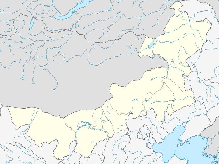
Hure Banner (Mongolian: ᠬᠦᠷᠢᠶᠡ ᠬᠣᠰᠢᠭᠤ Күриы-э қосиу Küriy-e qosiɣu; simplified Chinese: 库伦旗; traditional Chinese: 庫倫旗; pinyin: Kùlún Qí) is a banner of southeastern Inner Mongolia, People's Republic of China, bordering Liaoning province to the south. It is under the administration of Tongliao City, 106 kilometres (66 mi) to the north-northeast.
Map of Hure, Tongliao, Inner Mongolia, China
References
Hure Banner Wikipedia(Text) CC BY-SA