
Area 59.94 km² | Local time Friday 4:21 AM | |
 | ||
Weather 1°C, Wind SE at 3 km/h, 83% Humidity | ||
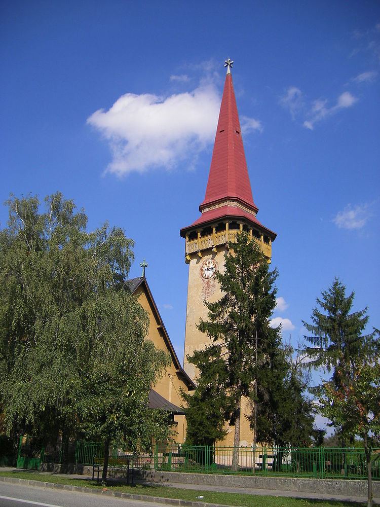
Hurbanovo (until 1948 Stará Ďala, Hungarian: Ógyalla, German: Altdala) is a town and large municipality in the Komárno District in the Nitra Region of south-west Slovakia. In 1948, its Slovak name was changed to Hurbanovo, named after Slovak writer Jozef Miloslav Hurban.
Contents
- Map of Hurbanovo Slovakia
- History
- Geography
- Demographics
- Government
- Facilities
- Transport
- Famous people
- Climate
- References
Map of Hurbanovo, Slovakia
History
In historical records the town was first mentioned in 1329.
Geography
The town lies at an elevation of 115 metres and covers an area of 59.943 km². Hurbanovo is situated on the climatically warmest location of the Podunajská nížina lowland, and it is located on the left bank of the Žitava river in the area with an altitude around 115 metres above the sea level.
Demographics
According to the 2011 census, the municipality had 7,751 inhabitants. 3,753 of inhabitants were Slovaks, 3,196 Hungarians, 189 Roma and 42 Czechs and 571 others and unspecified.
Government
The town has a birth registry, a police force and a tax office.
Facilities
The town has a public library, a DVD rental store and a cinema. It also has a football pitch. The town has a commercial bank and insurance company and number of general and food stores. It has a doctor's surgery and an outpatient facility for children and adolescents and a gynaecologist. A brewery, called Zlatý Bažant, also operates in the town.
Transport
The town has a garage and petrol station and a railway station.
Famous people
Climate
Climate in this area has mild differences between highs and lows, and there is adequate rainfall year round. The Köppen Climate Classification subtype for this climate is "Cfb". (Marine West Coast Climate).