
Airport type Public 9/27 5,001 Elevation 246 m | Owner Huntington BOAC Elevation AMSL 806 ft / 246 m 5,001 1,524 | |
 | ||
Huntington Municipal Airport (ICAO: KHHG, FAA LID: HHG) is a city-owned, public-use airport located three nautical miles (6 km) southeast of the central business district of Huntington, a city in Huntington County, Indiana, United States. According to the FAA's National Plan of Integrated Airport Systems for 2009–2013, it was classified as a general aviation airport.
Although most U.S. airports use the same three-letter location identifier for the FAA and IATA, this airport is assigned HHG by the FAA but has no designation from the IATA.
Facilities and aircraft
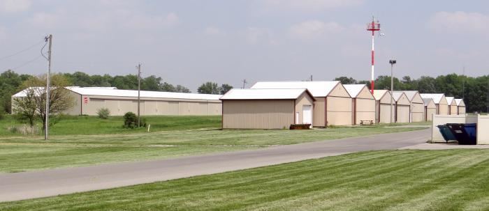
Huntington Municipal Airport covers an area of 118 acres (48 ha) at an elevation of 806 feet (246 m) above mean sea level. It has one runway designated 9/27 with an asphalt surface measuring 5,001 by 75 feet (1,524 x 23 m).
For the 12-month period ending December 31, 2004, the airport had 17,139 aircraft operations, an average of 46 per day: 99% general aviation and 1% air taxi. At that time there were 67 aircraft based at this airport: 88% single-engine and 12% multi-engine.