
Country United States County Adams Time zone Eastern (EST) (UTC-5) Elevation 169 m Population 547 (2010) | Township Straban GNIS feature ID 1177622 Local time Thursday 8:47 PM Area code 717 | |
 | ||
Weather 0°C, Wind W at 10 km/h, 49% Humidity Area 4.481 km² (4.481 km² Land / 1 ha Water) | ||
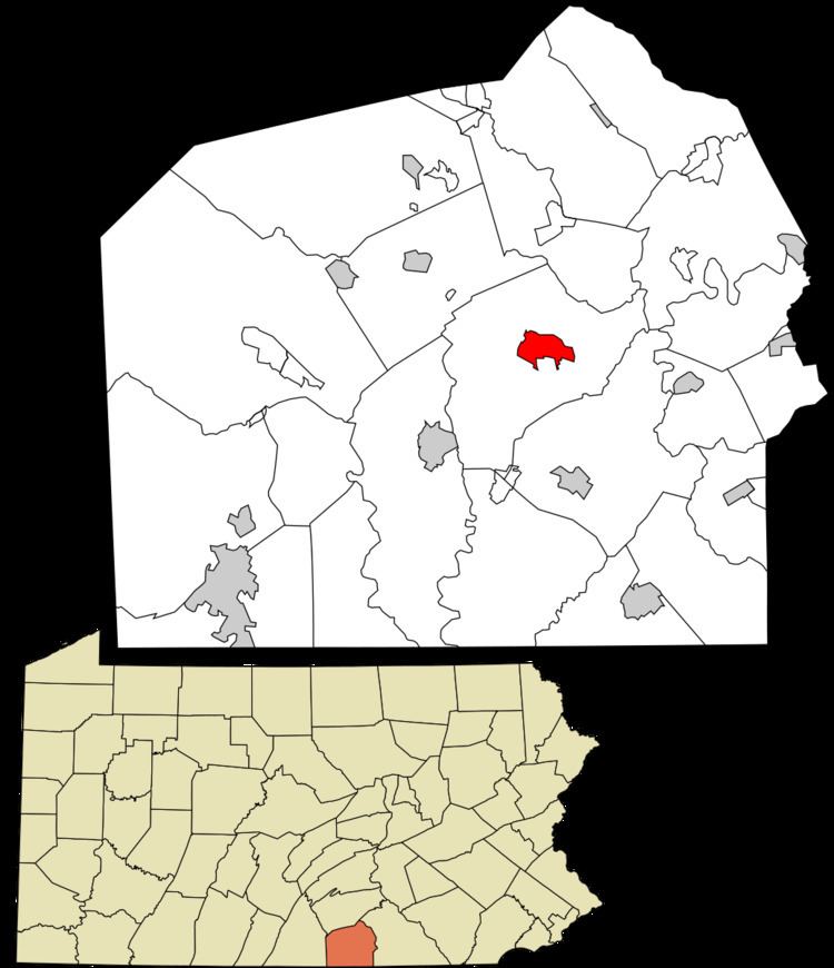
Hunterstown is an unincorporated community and census-designated place in Straban Township, Adams County, Pennsylvania, United States. As of the 2010 census the population was 547.
Map of Hunterstown, PA 17325, USA
Hunterstown is located along Pennsylvania Route 394 (Shrivers Corner Road), 5 miles (8 km) northeast of Gettysburg.
The Hunterstown Historic District and Great Conewago Presbyterian Church are listed on the National Register of Historic Places.
During the Battle of Gettysburg in 1863 there was a brief cavalry skirmish at Hunterstown.
References
Hunterstown, Pennsylvania Wikipedia(Text) CC BY-SA