
Country India District Chatra PIN 825420 Area 15 km² Local time Friday 6:05 AM | State Jharkhand Time zone IST (UTC+5:30) Vehicle registration JH Elevation 169 m | |
 | ||
Weather 17°C, Wind S at 6 km/h, 49% Humidity | ||
Hunterganj (Shaligram Ramnarayapur) is a town in Chatra district, Jharkhand, India.
Contents
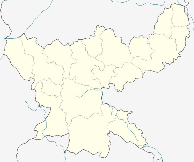
Map of Hunterganj, Jharkhand 825403
Introduction
Hunterganj is a small town and police station of Chatra district . Now its name is changed and proposed as Shaligram Ramnarayapur on the name of freedom fighter Shaligram singh, however this name is rarely used for communication or other purposes. It is an old town and was famous for an English administration person .
Geography
It is located at 24°27′0″N 84°49′0″E at an elevation of 169 m above MSL.
Location
Huntergung is a part of Chatra, Jharkhand, India. It is an old town. Nearest railway station is at Gaya and the nearest airport is Gaya Airport. Hunterganj is on NH 99 and stands on the banks of Lilajan River.
Places of interaction
References
Hunterganj Wikipedia(Text) CC BY-SA