
OS grid reference SD775305 Post town ACCRINGTON Dialling code 01254 | Sovereign state United Kingdom Local time Thursday 6:54 PM | |
 | ||
Population 4,418 (2011 CensusWard) Weather 5°C, Wind W at 16 km/h, 95% Humidity | ||
Abandoned power station huncoat power station
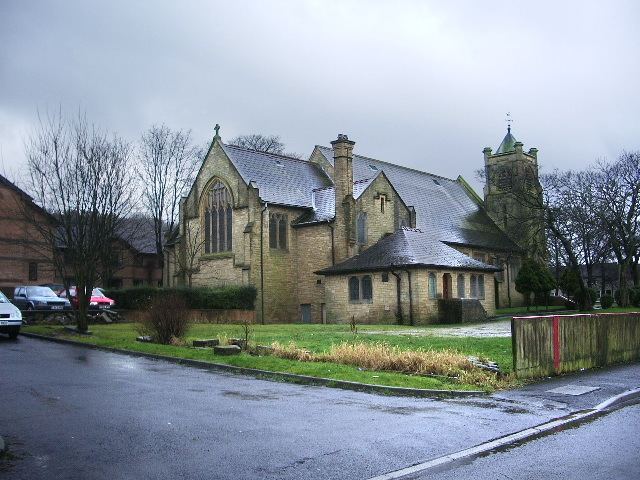
Huncoat is a small village in Lancashire, England; situated in the North West. It is located to the east of Accrington. It is a ward of Hyndburn where the population taken at the 2011 census was 4,418.
Contents
- Abandoned power station huncoat power station
- Map of Huncoat Accrington UK
- Explosive huncoat
- History
- Governance
- People
- References
Map of Huncoat, Accrington, UK
Huncoat railway station is on the East Lancashire Line.
Explosive huncoat
History
The name is of Anglo-Saxon origin where Hun, or Hunna was a family name and Cotte is an Old English name for a shelter for animals. The brief details of the Blackburnshire hundred in the Domesday survey, mention Huncoat with King Edward holding two carucates of land here.
Governance
Huncoat was once a township in the ancient parish of Whalley, this became a civil parish in 1866, forming part of the Burnley Rural District from 1894. However in 1929 the parish was abolished and the area became part of Accrington Municipal Borough (until 1974). It has since become an unparished part of the borough of Hyndburn.