
Elevation 1,294 m Parent range Blue Ridge Mountains | ||
 | ||
Similar Roanoke Mountain, Richland Balsam, Devil's Courthouse, Waterrock Knob, Table Rock | ||
Humpback Mountain is a mountain in the North Carolina High Country and the Pisgah National Forest, located southwest of Linville Falls. The mountain is accessible along the Blue Ridge Parkway, which ride along its eastern slop. The peak reaches an elevation of 4,245 feet (1,294 m), in Avery County; while the overall mountain is also in McDowell County. Two ridges, Mill Ridge and Dividing Ridge, form from the western side of the mountain.
Contents
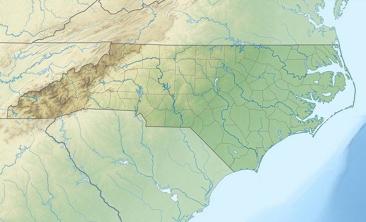
Map of Humpback Mountain, Ingalls, NC 28752, USA
Split by the Eastern Continental Divide, the mountain generates feeder streams to the North Fork Catawba River on its eastern slopes and to the North Toe River on its western slopes.
Land conservancyEdit
On December 5, 2013, the Conservation Trust of North Carolina purchased 523 acres (2.12 km2) along the Blue Ridge Parkway for $2.5 million, most of which is on Humpback Mountain. The property will eventually be transferred over to the North Carolina Wildlife Resources Commission to own and manage.