
Length 13.32 km | ||
 | ||
Southwest end: G60 Shanghai–Kunming Expressway, S20 Outer Ring Expressway, and S4 Hujin Expressway, Minhang District | ||
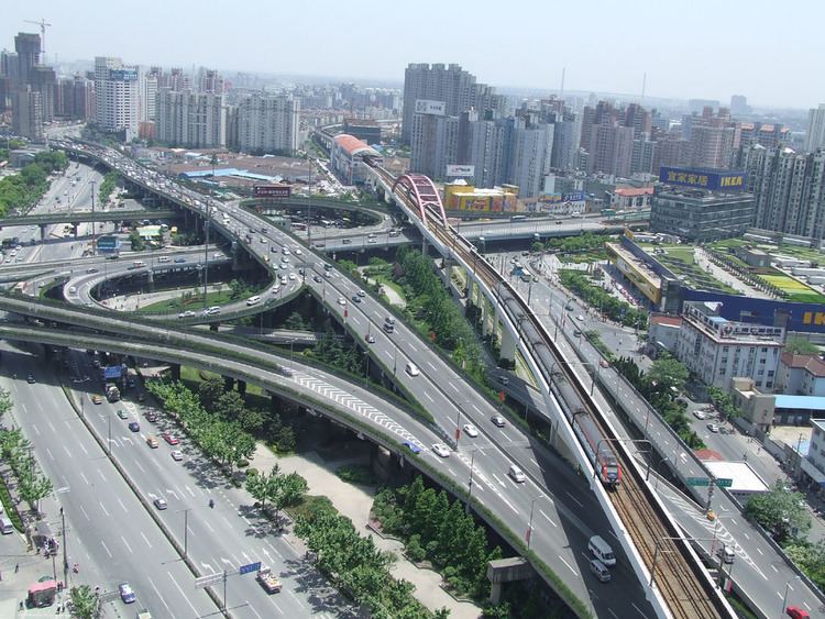
Humin Elevated Road (Chinese: 沪闵高架路; pinyin: Hùmǐn Gāojiàlù) is an elevated expressway in the city of Shanghai, China. It runs from the Inner Ring Road at the North Caoxi Road Interchange to the S20 Outer Ring Expressway, G60 Shanghai–Kunming Expressway and S4 Hujin Expressway interchange in Minhang District.
Contents
Map of Hu Min Gao Jia Lu, Shanghai Shi, China
The first phase of Humin Elevated Road ran from the Inner Ring Road to Shanghai South Railway Station, totaling 2.52 km. The second phase, which opened in December 2003, extended the expressway further southwest to its present state.
Exit List
References
Humin Elevated Road Wikipedia(Text) CC BY-SA