
Country United States Time zone CST (UTC-6) Area 138.8 km² Population 1,341 (2010) | Established November 8, 1859 Elevation 204 m Local time Thursday 11:33 AM | |
 | ||
ZIP codes 61910, 61920, 61931, 61938 Weather 3°C, Wind S at 14 km/h, 45% Humidity | ||
Humboldt Township is one of twelve townships in Coles County, Illinois, United States. As of the 2010 census, its population was 1,341 and it contained 551 housing units. The township changed its name from Milton Township on May 7, 1860.
Contents
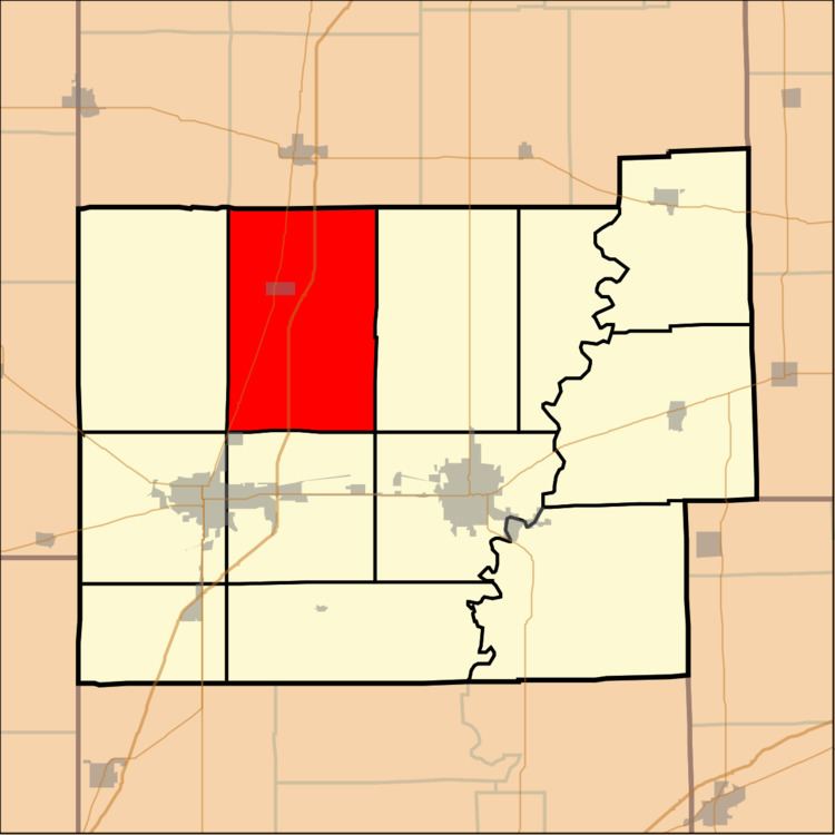
- Map of Humboldt Township IL USA
- Geography
- Cities towns villages
- Extinct towns
- Cemeteries
- Major highways
- School districts
- Political districts
- References
Map of Humboldt Township, IL, USA
Geography
According to the 2010 census, the township has a total area of 53.57 square miles (138.7 km2), of which 53.52 square miles (138.6 km2) (or 99.91%) is land and 0.05 square miles (0.13 km2) (or 0.09%) is water.
Cities, towns, villages
Extinct towns
Cemeteries
The township contains four cemeteries: East Humboldt, Gardner, Humboldt and Township.
Major highways
School districts
Political districts
References
Humboldt Township, Coles County, Illinois Wikipedia(Text) CC BY-SA