
Length 120 km Country Canada | ||
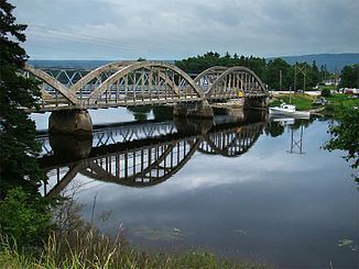 | ||
The Humber River (Mi'kmaq: Maqtukwek) is a river in Newfoundland in the Canadian province of Newfoundland and Labrador. It is approximately 120 kilometres long, flowing through the Long Range Mountains, southeast then southwest, through Deer Lake, to the Bay of Islands at Corner Brook. It begins near Hampden, Newfoundland. Taylor's Brook, Aidies Stream and Dead Water Brook run into the upper Humber. This is one of Newfoundland's largest rivers.
Map of Humber River, Newfoundland and Labrador, Canada
James Cook first charted the Humber in the summer of 1767. It was named, as so many of eastern North America for its English counterpart the Humber (estuary).
The Humber is rich in Atlantic Salmon, and was from the 1800s used as a waterway for European trappers and loggers It continues to be considered one of the world's best recreational salmon fishing rivers.