
 | ||
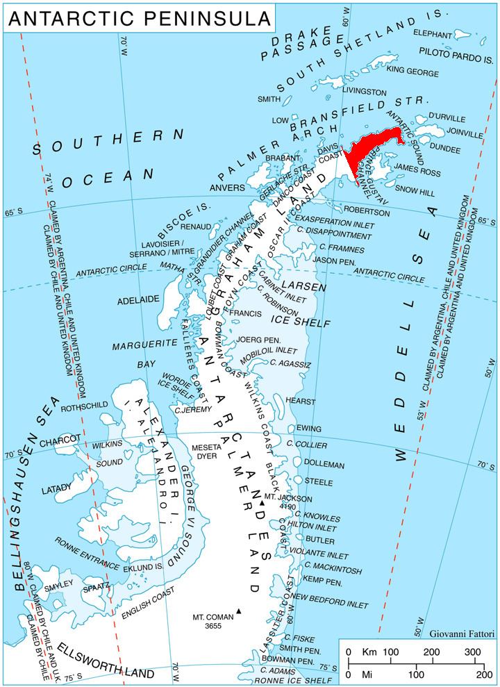
Huma Nunatak (Bulgarian: нунатак Хума, ‘Nunatak Huma’ \'nu-na-tak 'hu-ma) is the rocky hill rising to 580 m in the west part of Zavera Snowfield, in the northeast foothills of Detroit Plateau on southern Trinity Peninsula in Graham Land, Antarctica.
Contents
The nunatak is named after the settlement of Huma in Northeastern Bulgaria.
Location
Huma Nunatak is located at 64°06′48″S 59°00′19″W, which is 2.73 km south of Petkov Nunatak, 13.18 km northwest of Mount Wild, 4.64 km east-northeast of the summit of Kopito Ridge and 6.69 km east-southeast of Lobosh Peak.
Maps
References
Huma Nunatak Wikipedia(Text) CC BY-SA