
Demonym(s) Hulstenaar Postcode 4560–4569, 4580–4589 Area 251.8 km² | Elevation 3 m (10 ft) Time zone CET (UTC+1) Website www.gemeentehulst.nl Local time Thursday 10:09 AM Area code 0114 | |
 | ||
Weather 12°C, Wind S at 5 km/h, 77% Humidity Points of interest Streekmuseum De Vier Ambachten, Keldermanspoort, Dubbele poort, Gentsepoort, Graauwse Poort | ||
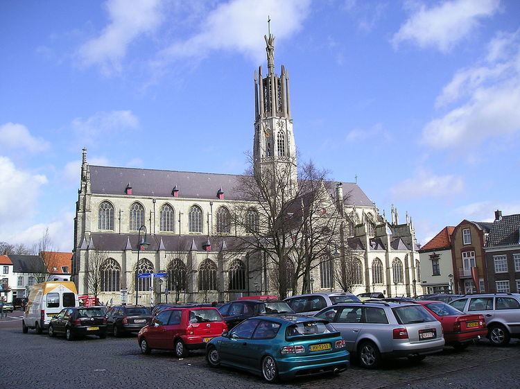
Hulst ( [ɦɵlst]) is a municipality and city in southwestern Netherlands in the east of Zeelandic Flanders.
Contents
Map of Hulst, Netherlands
History
Hulst received city rights in the 12th century.
Hulst was captured from the Spanish in 1591 by Maurice of Orange but was recaptured by Archduke Albert in 1596.
In 1645, the Siege of Hulst (to control the left bank of the Schelde river) occurred. It was led by Prince of Orange Frederick Henry, during the Eighty Years' War (1568–1648) with Spain.
A further siege took place in 1702, where General Menno van Coehoorn defended the town successfully for the Dutch and in 1747 when it was taken by the French after incompetent defence by Lt General Pieter de la Rocque.
In the seventeenth century, a star fort was constructed. The fortifications, constructed during that time, are historic examples of Dutch fortress architecture.
The name Hulst (Holly in English) would appear to come from the shape of the battlements. Holly is depicted growing around the towns crest.
Geography
Hulst is located at 51°17′N 4°3′E in the south of the province of Zeeland in the southwest of the Netherlands. It is situated in the east of the region Zeelandic Flanders, which is connected by land only to Belgium, on the Dutch-Belgian border.
Hulst is neighbouring the municipalities of Terneuzen in the west, Stekene (Belgium) and Sint-Gillis-Waas (B) in the south, Beveren (B) in the east, and Reimerswaal in the north. The river Western Scheldt separates the land of Reimerswaal and Hulst.
The Drowned Land of Saeftinghe (Verdronken land van Saeftinghe) is a natural reserve in the north of the municipality. Its name refers to the Saeftinghe legend.
The population centers in the municipality are:
Government
The mayor of Hulst is Jan-Frans Mulder of the Christian Democratic Appeal.
International relations
Hulst is twinned with Michelstadt, Germany.