
Grid position 198/290 PAL Governorate Nabatieh Governorate Elevation 750 m (2,460 ft) Local time Thursday 9:41 AM | Country Lebanon District Marjeyoun District Time zone EET (UTC+2) Area code +961 | |
 | ||
Weather 9°C, Wind W at 2 km/h, 79% Humidity | ||
Hula (Hule, Houla, Arabic: حولا) is a small village in southern Lebanon on the southern side of the Litani river near the Lebanese-Israeli borders. It is located 750 meters above the sea-level.
Contents
Map of Houla, Lebanon
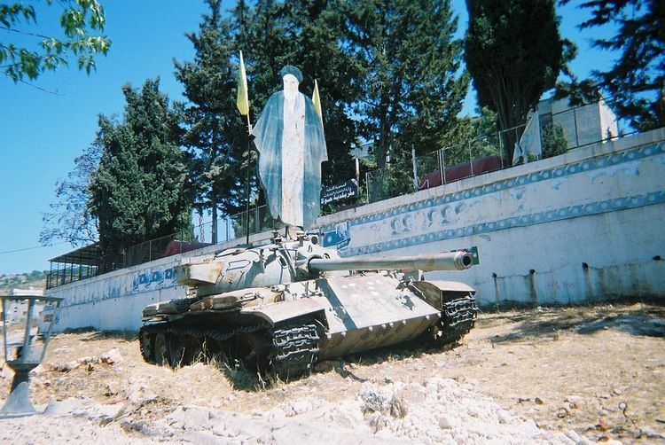
During the 1948 Arab-Israeli war two officers from the IDF carried out the Hula massacre in the village, killing over 80 civilians of ages 15-60.
History
Several lintels, two wine-presses and one olive-press have been found here.
In 1875 Victor Guérin found 300 Metualis here.
In 1881, the Palestine Exploration Fund's Survey of Western Palestine (SWP) described it as: "A village, built of stone, containing about 500 Metawileh, one of the most prominent objects in which is a Sheikh's tomb. It is situated on the hill-top, and is surrounded by olives, vines, and arable land. There are several cisterns, two birkets (one rock-cut), and a spring."
Modern era
During the 2006 Israel-Lebanon conflict, on July 15, Israel killed 2 young women in an air-strike against a home in Hula.
On August 7, 2006, an Israeli airstrike on Houla killed another civilian. Prime Minister of Lebanon Fuad Siniora told a group of Arab foreign ministers who had gathered in Beirut for a meeting that "An hour ago, there was a horrific massacre in the village of Houla in which more than 40 martyrs were victims of deliberate bombing". Siniora later in the day revised the death toll from 40 to 1.