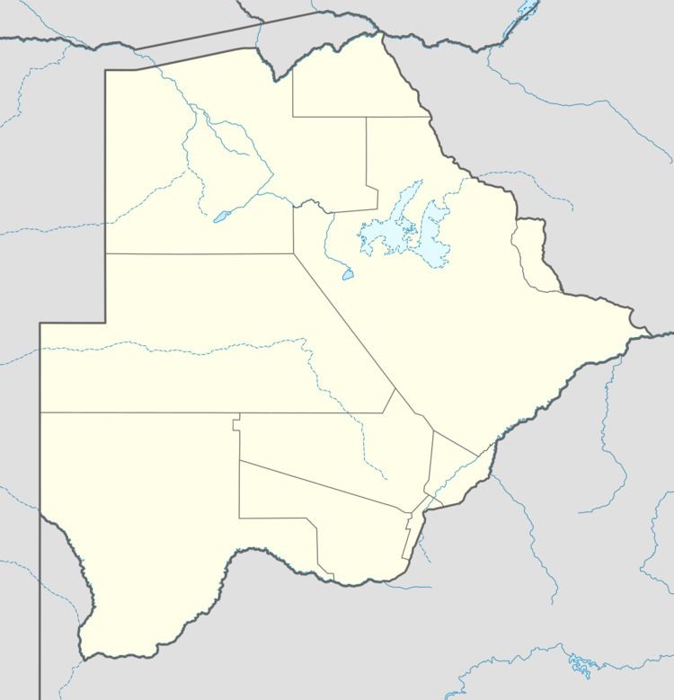
Population 4,654 (2011) Number of airports 1 | Local time Thursday 9:36 AM | |
 | ||
Weather 26°C, Wind NE at 11 km/h, 37% Humidity | ||
Last day in hukuntsi botswana round the world ep 20
Hukuntsi is a village in Kgalagadi District (Kalahari) in Botswana.
Contents
- Last day in hukuntsi botswana round the world ep 20
- Map of Hukuntsi Botswana
- Botswanapost hukuntsi official opening
- References
Map of Hukuntsi, Botswana
Hukuntsi, meaning "many corners", is named for its status as one of the four major villages in its region of the Kgalagadi Desert. It's located 114 kilometres away from the village of Kang, off of the Gaborone-Ghanzi highway. It had a population of 4,654 in the 2011 census. The majority of Hukuntsi's population are Bangologa people, a Tswana clan (List_of_Sotho-Tswana_clans).
Hukuntsi is the headquarters for the Kgalagadi North Sub-District thus it is home to the Rural Administration Centre for government offices. Also located in Hukuntsi are a hospital and a clinic, 3 elementary school and 1 community junior secondary school. Amenities available in Hukuntsi include guest houses, several take away restaurants, an independently owned supermarkets, two wholesalers, butcheries and variety shops. The village is served by Hukuntsi Airport.
Weather in Hukuntsi varies dramatically- very cold nights in the winter and very hot days in the summer. Beware of August winds.
