
Country New Zealand District Whangarei District Neighborhoods Tapuhi, Akerama, Waiotu | Region Northland Region Local time Thursday 8:32 PM | |
 | ||
Weather 18°C, Wind SE at 11 km/h, 74% Humidity | ||
Hukerenui is a settlement in Northland, New Zealand. State Highway 1 passes through the area. Kawakawa is northwest, and Hikurangi is southeast.
Contents
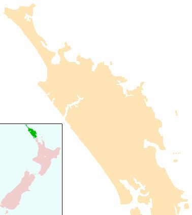
Map of Hukerenui, New Zealand
History
The settlement began as Hukerenui South in 1886, with a request made by a group of local people for the land under the Village Homestead Special Settlement system. The village was opened to the first 25 settler families the following year. Although the main road from Whangarei to Kawakawa passed through it, the road was only a dirt track, and was impassable during winter. Gum digging was one of the initial sources of income, but the Government cancelled gum-digging licences after fires in early 1888. A flax mill at Towai provided some jobs. Some were employed to build and improve the roads.
The North Auckland railway line reached Hukerenui in 1901 or 1902. It was extended north to Towai in February or May 1910, and to Kawakawa in 1912 or 1911
Education
Hukerenui School Years 1-8 is a coeducational full primary (years 1-8) school with a decile rating of 5 and a roll of 142. The school was founded in 1889, and amalgamated with other small schools to a new site in 1949. Hukerenui School moved in 1975 to the site of the former Hukerenui District High School. It changed its name from "Hukerenui School" to "Hukerenui School Years 1-8" in 1997.
The school included a Form 3 class in 1946, and this was expanded into a secondary department. This eventually split to form the Hukerenui District High School, which operated from March 1957 to December 1972.