
 | ||
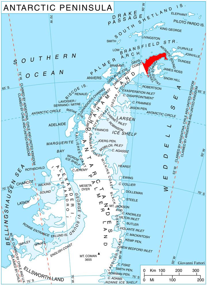
Huhla Col (Bulgarian: седловина Хухла, ‘Sedlovina Huhla’ se-dlo-vi-'na 'huh-la) is the ice-covered col of elevation over 900 m on Trinity Peninsula in Graham Land, Antarctica, which is linking Snegotin Ridge to the north to the west part of Louis-Philippe Plateau to the south. It is overlooking Prelez Gap and Malorad Glacier to the west-northwest.
Contents
The col is named after the settlement of Huhla in Southern Bulgaria.
Location
Huhla Col is centred at 63°34′47″S 58°29′14″W. German-British mapping in 1996.
Maps
References
Huhla Col Wikipedia(Text) CC BY-SA