
Type Sag pond Cities Lake Hughes | Basin countries United States Surface elevation 973 m | |
 | ||
Similar Angeles National Forest, Elizabeth Lake, Sierra Pelona Mountains, Antelope Valley, Antelope Valley Indian Mu | ||
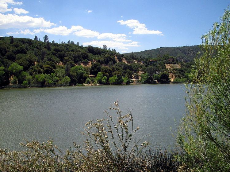
Hughes Lake, referred to before 1924 as West Elizabeth Lake, is a lake located directly on the San Andreas Fault the northern Sierra Pelona Mountains, in Los Angeles County, southern California.
Contents
Map of Hughes Lake, California 93532, USA
GeographyEdit
The lake is one of a series of sag ponds in the foothills of the Sierra Pelona Mountains, including Elizabeth Lake, and Munz Lakes, all created by the active motion of tectonic plates on the San Andreas Fault. They are part of the northern upper Santa Clara River watershed.
The lake, at 3,192 m (10,472 ft) in elevation, is within the Angeles National Forest.
The community of Lake Hughes, an unincorporated community, began settlement in the area around 1873.
References
Hughes Lake (California) Wikipedia(Text) CC BY-SA