
Elevation 749 m | Last eruption 0210 BCE ± 200 years | |
 | ||
Location | ||
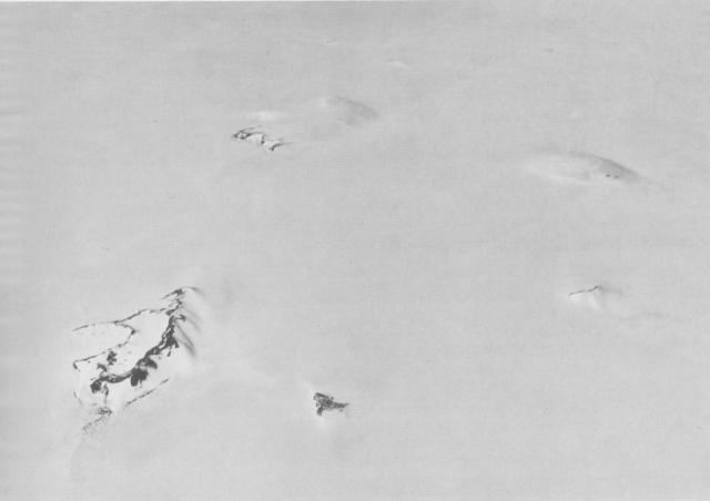
The Hudson Mountains is a group of parasitic cones, forming nunataks just above the Antarctic ice sheet in west Ellsworth Land. They lie just east of Cranton Bay and Pine Island Bay at the eastern extremity of Amundsen Sea, and are bounded on the north by Cosgrove Ice Shelf and on the south by Pine Island Glacier.
History
The mountains were discovered by members of the USAS in flights from the USS Bear in February 1940, and further delineated from air photos taken by USN Operation Highjump in December 1946. The full extent of the group was mapped by USGS from US Navy air photos of 1966. Named by US-SCAN after Capt. William L. Hudson, commander of the USS Peacock during USEE, 1838-42. The Peacock, accompanied by the USS Flying Fish under Lt. Walker, cruised along the edge of the pack to the north of this area for several days during the latter part of March 1839.
Given the fact that they are little-eroded, and that steam was reported in 1974, and an unconfirmed report of an eruption detected by satellite in 1985, the Hudson Mountains may be active.
On January, 2008, the British Antarctic Survey scientists led by Hugh Corr and David Vaughan, reported (in the journal Nature Geoscience) that 2,200 years ago, a volcano had a subglacial eruption under the Antarctic ice sheet, based on airborne survey with radar images. Described as the biggest eruption in Antarctica in the last 10,000 years, the volcanic ash was found deposited on the ice surface under the Hudson Mountains, close to Pine Island Glacier.