
OS grid reference TF267434 Local time Thursday 1:22 AM | Sovereign state United Kingdom Postcode district PE20 | |
 | ||
Weather 7°C, Wind SW at 13 km/h, 85% Humidity | ||
Hubberts Bridge is a village in the borough of Boston, Lincolnshire, England. It is situated within the civil parish of Frampton, and approximately 3 miles (5 km) west from the market town of Boston.
Map of Hubbert's Bridge, Boston, UK
The village name derives from the bridge crossing the South Forty-Foot Drain. Originally it was a wooden structure, and a new wooden bridge was erected about 1850, but was replaced again by a brick structure in 1888 by the County Justices for the Parts of Holland from designs of Mr John Kingston, County Surveyor.
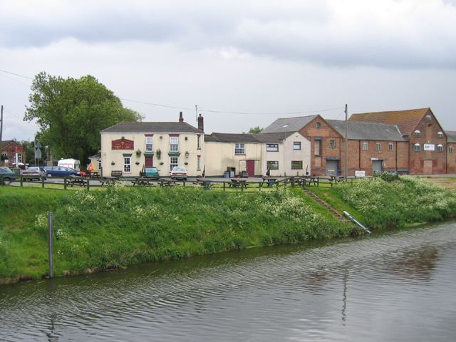
The village is served by Hubberts Bridge railway station, and has a local public house, the Wheatsheaf Inn, and a community centre.
At Hubberts Bridge there is an 18-hole golf course with driving range.
References
Hubberts Bridge Wikipedia(Text) CC BY-SA