
Area 571.8 km² | Elevation 2,149 m Population 19,313 (2005) | |
 | ||
Website www.huayacocotla.gob.mx | ||
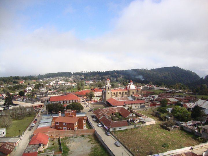
Huayacocotla Municipality is one of the 212 municipalities of the Mexican state of Veracruz. It is located in the state's Huasteca Baja region. The municipal seat is the town of Huayacocotla.
Contents
Map of Huayacocotla, Ver., Mexico
In the 2005 INEGI Census, the municipality reported a total population of 19,313, of whom 3,847 lived in the municipal seat. Of the municipality's inhabitants, 779 (4.30%) spoke an indigenous language, primarily Nahuatl.
Huayacocotla Municipality covers a total surface area of 571.79 km². It borders to the north with Ilamatlán and Zontecomatlán; to the east with Texcatepec and Zacualpan; and to the south and west with the state of Hidalgo.
Settlements
References
Huayacocotla (municipality) Wikipedia(Text) CC BY-SA