
Website www.munihuari.gob.pe | Region Ancash Elevation 3,149 m (10,331 ft) | |
 | ||
The Huari Province is one of twenty provinces of the Ancash Region in Peru. Its seat is Huari.
Contents
Map of Huari Province, Peru
Geography
The Cordillera Blanca traverses the western part of the province. Some of the highest peaks of the province are Rurichinchay and Wantsan. Other mountains are listed below:
Political division
Huari is divided into sixteen districts, which are:
Ethnic groups
The people in the province are mainly indigenous citizens of Quechua descent. Quechua is the language which the majority of the population (78.05%) learnt to speak in childhood, 21.49% of the residents started speaking using the Spanish language (2007 Peru Census).
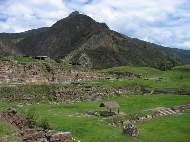
Archaeological sites
The UNESCO World Heritage Site of Chavín de Huantar is the most famous archaeological site of the province. Another remarkable place with cave paintings and stone tombs (chullpa) is Markahirka.