
Country New Zealand | Local time Thursday 1:13 PM | |
 | ||
Weather 22°C, Wind S at 10 km/h, 56% Humidity | ||
Huapai is a locality north-west of Auckland, New Zealand. State Highway 16 and the North Auckland Railway Line pass through it. Kumeu is adjacent to the east, Riverhead is to the north-east, and Waimauku to the west.
Contents
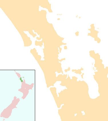
Map of Huapai, Kumeu, New Zealand
The locality is part of the Kumeu wine growing district, with grapes first planted at Huapai by Nikola Nobilo in 1943.
Huapai School
Huapai District School is a coeducational full primary school (years 1-8), with a decile rating of 9 and a roll of 436 in 2013. Huapai School currently hosts 22 classrooms and has a roll of 460 students as of July 2016. The school has one large and one medium-sized field, with soccer and rugby goals respectively, and two playgrounds, with another soon-to-be built adventure playground worth over NZ$50,000. There is a sealed bike track covering the whole school, as well as a BMX track for students. The school also has a tennis / hockey court, swimming pool, flag court, dedicated music suite, professional audio system, and a soon-to-be built completely new administration block including a large library.