
Website huanghua.gov.cn Local time Thursday 7:59 AM | Time zone China Standard (UTC+8) Area 1,544 km² | |
 | ||
Country People's Republic of China Weather 7°C, Wind S at 11 km/h, 41% Humidity | ||
Huanghua (simplified Chinese: 黄骅; traditional Chinese: 黄驊; pinyin: Huánghuá) is a county-level city located in the Bohai Gulf coastal region of Hebei province, China. It is under the jurisdiction of Cangzhou City.
Contents
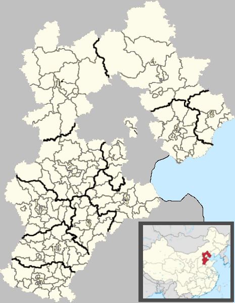
Map of Huanghua, Cangzhou, Hebei, China
Huanghua is named after Chinese Communist revolutionary Huang Hua. Previously it was known as Xinqing County (Chinese: 新青县). It has a total area of 1,544 km2 (596 sq mi), with a coastline of 65.8 km (40.9 mi). The total administrative population is 419,700 in the entire county, with 120,000 people living in the urban area of 18 km2 (6.9 sq mi).
Huanghua has a seaport, Huanghua Port. It is a stop on the Jinshan Expressway that connects Tianjin with Shantou, Guangdong.
Administrative divisions
Subdistricts:
Towns:
Townships:
Climate
Huanghua has a four-season, monsoon-influencedhumid continental climate (Köppen Dwa), with cold, dry winters, and hot, humid summers. The monthly 24-hour average temperature ranges from −3.8 °C (25.2 °F) to 26.6 °C (79.9 °F), while the annual mean is 12.46 °C (54.4 °F). Close to 60% of the annual rainfall of 567 mm (22.3 in) occurs in July and August alone.