
Founded March 20, 1861 Elevation 1,929 m (6,329 ft) | Region Piura UBIGEO 2003 | |
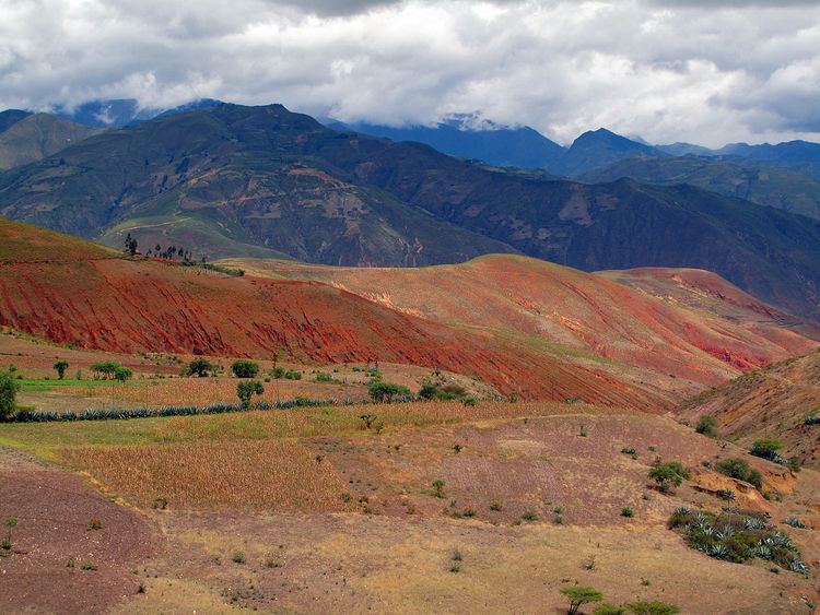 | ||
Huancabamba Province is a landlocked province in the Piura Region in northwestern Peru. The province is the easternmost in the region.
Contents
Map of Huancabamba Province, Peru
Boundaries
Political division
The Province has an area of 4,254.14 square kilometers (1,642.53 sq mi) and is divided into eight districts.
Population
The province has an approximate population of 125,000 residents.
Capital
The capital of the province is the city of Huancabamba.
This province is famous by Waringa Lake (Laguna de Huaringas).
References
Huancabamba Province Wikipedia(Text) CC BY-SA