
Elevation 3,408 m (11,181 ft) Area 2,862 km² | Region Ayacucho UBIGEO 0503 | |
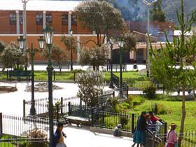 | ||
Huanca Sancos is a province in central Ayacucho, Peru. On April 3, 1983, Shining Path rebels entered the town of Lucanamarca and killed 69 people.
Contents
Map of Huanca Sancos Province, Peru
Geography
Some of the highest mountains of the province are listed below:
Political division
The province extends over an area of 2,862.33 square kilometres (1,105.15 sq mi) and is divided into four districts.
Ethnic groups
The people in the province are mainly indigenous citizens of Quechua descent. Quechua is the language which the majority of the population (80.79%) learnt to speak in childhood, while 18.72% of the residents started speaking using the Spanish language (2007 Peru Census).
References
Huanca Sancos Province Wikipedia(Text) CC BY-SA