
Country Thailand Time zone THA (UTC+7) Geocode 9206 Province Trang Province | Seat Huai Yot Postal code 92130 Area 747.2 km² | |
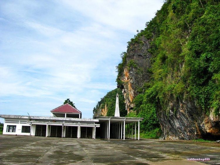 | ||
Points of interest Le Khao Kop Cave, Pha Phung View Point, Thara Warin Waterfall, Pak Chaem Waterfall | ||
Huai Yot (Thai: ห้วยยอด) is a district (Amphoe) in the northern part of Trang Province, Thailand.
Contents
Map of Huai Yot District, Trang, Thailand
Geography
Neighboring districts are (from the north clockwise) Ratsada of Trang Province, Thung Song of Nakhon Si Thammarat Province, Pa Phayom, Si Banphot of Phatthalung Province, Mueang Trang, Wang Wiset of Trang Province again and Bang Khan of Nakhon Si Thammarat Province again.
History
Originally named Khao Khao (เขาขาว), it was renamed to Huai Yot in 1939.
Administration
The district is subdivided into 16 subdistricts (tambon), which are further subdivided into 133 villages (muban). There are three townships (thesaban tambon) - Huai Yot covers parts of tambon Huai Yot and Khao Pun; Na Wong covers parts of tambon Na Wong, Bang Kung and Wang Khiri; and Lam Phu Ra covers parts of tambon Lam Phu Ra. There are further 16 Tambon administrative organizations (TAO).
Missing numbers are tambon which now form Ratsada district.