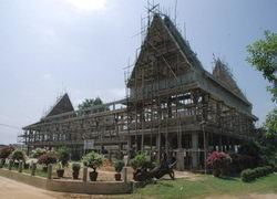
Country Thailand Time zone THA (UTC+7) Geocode 3016 | Seat Huai Thalaeng Postal code 30240 Area 495.2 km² | |
 | ||
Province Nakhon Ratchasima Province | ||
Huai Thalaeng (Thai: ห้วยแถลง) is a district (amphoe) in the eastern part of Nakhon Ratchasima Province, northeastern Thailand.
Contents
Map of Huai Thalaeng District, Nakhon Ratchasima, Thailand
History
Huai Thalaeng village was controlled by Tambon Ngio (ตำบลงิ้ว), Amphoe Phimai. It was upgraded to Tambon Huai Thalaeng in 1961 and became a minor district (King Amphoe) later. It was officially upgraded to a full district in 1963.
Geography
Neighboring districts are (from the west clockwise) Chakkarat, Phimai and Chum Phuang of Nakhon Ratchasima Province, and Lam Plai Mat and Nong Hong of Buriram Province.
Administration
The district is subdivided into 10 subdistricts (tambon). The township (thesaban tambon) Huai Thlaeng covers part of the tambon Huai Thalaeng and Thap Sawai.
References
Huai Thalaeng District Wikipedia(Text) CC BY-SA
