
Country Thailand Time zone ICT (UTC+7) Geocode 4614 Population 30,343 (2005) | Seat Nikhom Huai Phueng Postal code 46170 Area 256.8 km² Province Kalasin Province | |
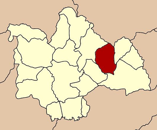 | ||
Huai Phueng (Thai: ห้วยผึ้ง) is a district (amphoe) in the eastern part of Kalasin Province, northeastern Thailand.
Contents
Map of Huai Phueng District, Kalasin, Thailand
Geography
Neighboring districts are (from the east clockwise) Na Khu, Kuchinarai, Na Mon and Somdet of Kalasin Province, and Phu Phan of Sakon Nakhon Province.
History
On 5 May 1981 the minor district (King Amphoe) Huai Phueng was created by splitting off the three tambon Nikhom Huai Phueng, Kham Bong, and Khai Nun from Khao Wong district. It was upgraded to a full district on 21 May 1990.
Administration
The district is subdivided into four subdistricts (tambon), which are further subdivided into 52 villages (muban). Huai Phueng is a township (thesaban tambon) which covers parts of the tambon Nikhom Huai Phueng. There are further four tambon administrative organizations (TAO).