
Country Thailand Time zone THA (UTC+7) Geocode 7113 Population 32,602 (2005) | Seat Huai Krachao Postal code 71170 Area 622 km² Province Kanchanaburi Province | |
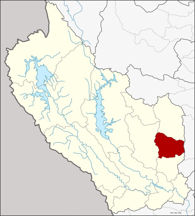 | ||
Huai Krachao (Thai: ห้วยกระเจา) is a district (Amphoe) in the eastern part of Kanchanaburi Province, central Thailand.
Contents
Map of Huai Krachao District, Kanchanaburi, Thailand
History
Tambon Huai Krachao, Wang Phai, Sa Long Ruea and Don Salaep were separated from Phanon Thuan district and formed the minor district (King Amphoe) Huai Krachao on April 30, 1994. It was official upgraded to be full district on October 11, 1997.
Geography
Neighboring districts are (from the south clockwise) Phanom Thuan, Bo Phloi, Lao Khwan of Kanchanaburi Province and U Thong of Suphanburi Province.
Administration
The district is subdivided into 4 subdistricts (tambon), which are further subdivided into 67 villages (muban). There are no municipal (thesaban) areas, and 4 Tambon administrative organizations (TAO).
References
Huai Krachao District Wikipedia(Text) CC BY-SA