
Country Thailand Time zone THA (UTC+7) Geocode 6108 Population 19,547 (2005) | Seat Huai Khot Postal code 61170 Area 424.2 km² Province Uthai Thani Province | |
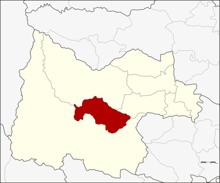 | ||
Huai Khot (Thai: ห้วยคต) is a district (Amphoe) in the central part of Uthai Thani Province, northern Thailand.
Contents
Map of Huai Khot District, Uthai Thani, Thailand
History
Tambon Huai Khot, Suk Ruethai and Thong Lang were separated from Ban Rai district and formed Huai Khot minor district (King Amphoe) on August 1, 1984. It was upgraded to a full district on November 3, 1993.
Geography
Neighbouring districts are (from the south clockwise) Ban Rai, Lan Sak and Nong Chang of Uthai Thani Province.
Administration
The district is subdivided into 3 subdistricts (tambon), which are further subdivided into 31 villages (muban). There are no municipal (thesaban) areas. There are further 3 Tambon administrative organizations (TAO).
References
Huai Khot District Wikipedia(Text) CC BY-SA