
Elevation 570 m Population 744 (Jun 2013) | Area 31.46 km² Postal code 51104 | |
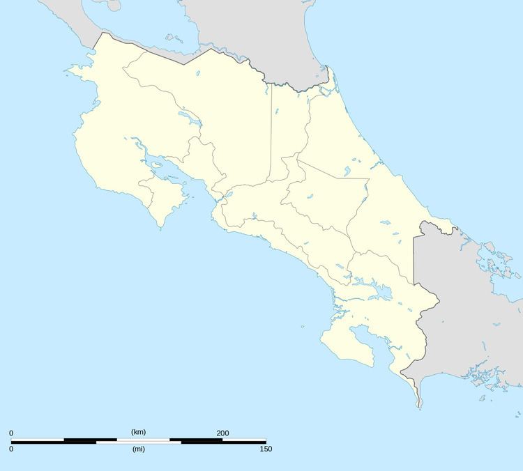 | ||
Huacas District is a district and village in the canton of Hojancha, Guanacaste Province in Costa Rica.
Contents
Map of Guanacaste Province, Huacas, Costa Rica
The district has a population of around 750 people.
Main Intersections
There is a 3-way intersection in the center of town. To the east, the road goes to the Liberia international airport (officially called the Daniel Oduber Quiros International Airport) and Liberia (the capital city of the Guanacaste province). To the west it goes to Playa Grande, and another intersection going north to other beach towns, including Brasalito and Flamingo. To the south, it goes to Villareal and Tamarindo. West of this 3-way intersection is the ambulance service and the 24-hour clinic.
Services
There is a large Super Compro supermarket in town, with an ATM but no air conditioning, and also some clothing and shoe stores. There are several restaurants and cafes (some are called panaderia which means bakery). There is also a small library in town. There is a gas station south of town, and another to the east.
Villages
Administrative center of the district is the village of Huacas.
Other villages in the district are Avellana, Pita Rayada, Río Blanco Oeste and Tres Quebradas.