
Length 298 km Basin area 5,453 km² | - min 7.6 m/s (268 cu ft/s) Discharge 53.7 m³/s Source elevation 980 m | |
 | ||
- average 53.7 m/s (1,896 cu ft/s) - max 1,050 m/s (37,080 cu ft/s) | ||
Kristina horehronie slovakia
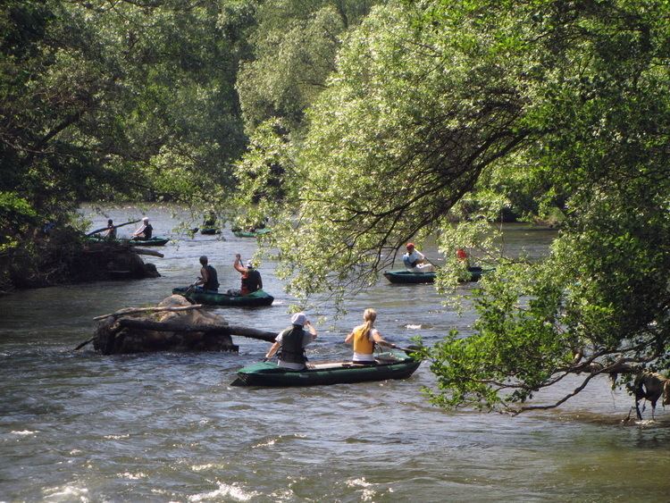
The Hron (Slovak: Hron, German: Gran, Hungarian: Garam, Latin: Granus) is a 298-kilometre (185 mi) long left tributary of the Danube and the second-longest river in Slovakia. It flows from its source in the Low Tatra Mountains (below Kráľova hoľa) through central and southern Slovakia, emptying into the Danube near Štúrovo and Esztergom. Major cities and towns on the Hron are Brezno, Banská Bystrica, Sliač, Zvolen, Žiar nad Hronom, Žarnovica, Nová Baňa, Tlmače, Levice, Želiezovce, and Štúrovo.
Contents
Map of Hron, Slovakia
The river's basin covers approximately 11 percent of Slovakia's territory.
EtymologyEdit
The name is probably of Germanic origin; *Granahua: gran – spruce, ahua – water.
HistoryEdit
The name of the river was mentioned for the first time in 170, when Roman Emperor Marcus Aurelius wrote his Meditations at the Hron (Latin: Granus) river. The first recorded medieval name was Gron (1075). From the 17th century until the 1930s, the river was used for wood transport.