
- summer (DST) CEST (UTC+2) Local time Wednesday 10:31 PM | Area 126.5 km² | |
 | ||
Weather 2°C, Wind NW at 10 km/h, 76% Humidity Points of interest Vodopád Bystrého potoka, Kalamárka, Melichova skala, Jánošíkova skala, Zadná Poľana | ||
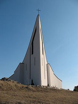
Hriňová (German: Hrinau; Hungarian: Herencsvölgy) is a town in the Detva District of central Slovakia.
Contents
Map of 962 05 Hri%C5%88ov%C3%A1, Slovakia
Etymology
The name is derived from a dialect word for horseradish. Slovak: chren - a horseradish, dialect: hriň (noun), hriňová (fem. adjective).
Geography
The town is located on the Slatina river, under the Poľana mountains. It is located app. 13 km (8.08 mi) from Detva and 40 km (24.85 mi) from Zvolen. A dam is located above the town.
History
At first, the town was a part of Detva municipality, which arose in the 17th century. In 1891, Hriňová became a separate municipality from Detva. It has town status since 1 January 1989.
Demographics
According to the 2001 census, the town had 8,289 inhabitants. 98.56% of inhabitants were Slovaks, 0.42% Czechs and 0.35% Roma. The religious make-up was 88.85% Roman Catholics, 6.19% people with no religious affiliation and 2.10% Lutherans.