Supriya Ghosh (Editor)

Hrdějovice

Updated on
Edit
Like
Comment
Share on FacebookTweet on TwitterShare on LinkedInShare on Reddit
Country
  
Czech Republic

District
  
České Budějovice

Elevation
  
385 m

Local time
  
Wednesday 10:18 PM

Region
  
South Bohemian

Postal code
  
373 61

Area
  
8.82 km²

Hrdějovice httpsuploadwikimediaorgwikipediacommonsthu

Weather
  
4°C, Wind NW at 5 km/h, 83% Humidity

Hrdějovice (German Hartowitz) is a village and municipality (obec) in České Budějovice District in the South Bohemian Region of the Czech Republic.

Contents

Map of Hrd%C4%9Bjovice, Czechia

The municipality covers an area of 8.82 square kilometres (3.41 sq mi), and has a population of 1,585 (as at 31 December 2007).

Hrdějovice lies approximately 5 kilometres (3 mi) north of České Budějovice and 119 km (74 mi) south of Prague.
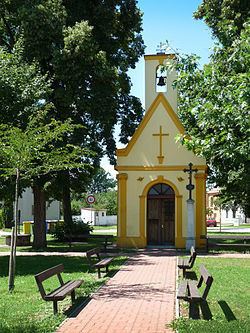
Places of interest

  • Baroque Virgin Mary Chapel in the village green from the mid-18th century, rebuilt in 1876
  • Pilgrimage chapel in Těšín, part of the village, with a healing well
  • Small chapel at the corssroads of Hlubocká and Těšínská streets
  • Former china-clay mine Orty, a natural monument, north of the village
  • Opatovice part of the municipality, with historical village green cottages
  • Memorial to those killed in Great War
  • Rustic Baroque style houses
  • Memorial to remember the tragic air crash of 18 July 1924, nowadays situated west of the village at the railway linetowards Pilsen not far from České Vrbné, part of České Budějovice
  • References

    Hrdějovice Wikipedia